[ Article ]
From Natural Resource Management to Disaster Response: How Satellite Imagery Applications are Transforming Our Understanding of the Planet
Written by Kurt Janssen
21 August 2023
Share this post
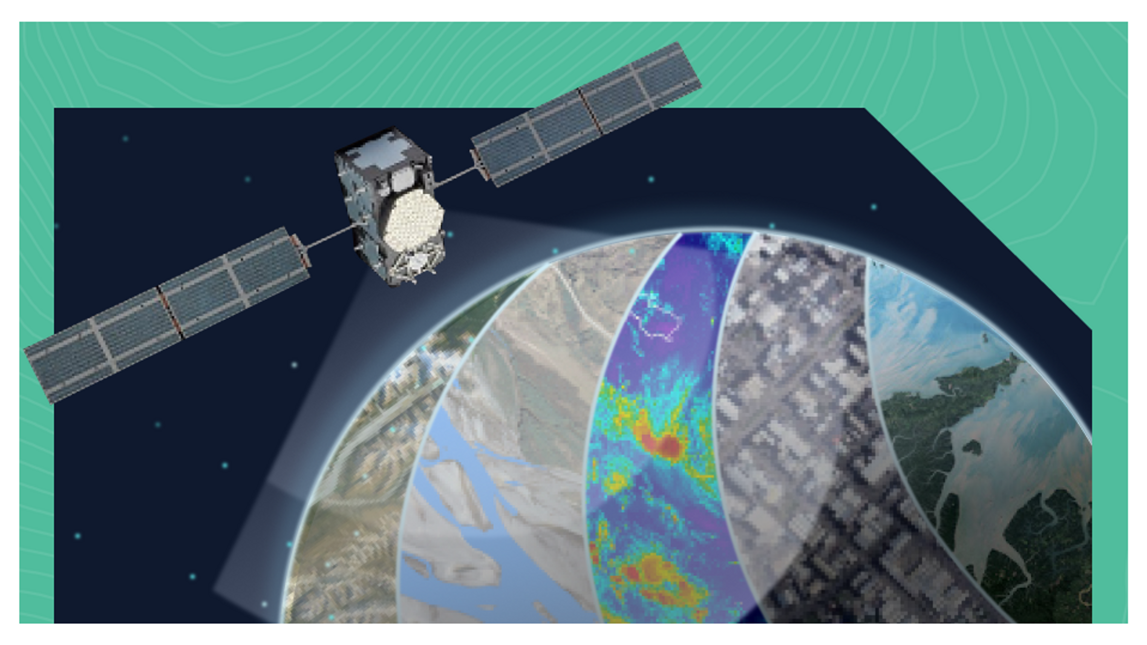
Satellite imagery applications play a pivotal role not just in the aerospace industry, but also in guiding a broad spectrum of data-driven decisions undertaken by governments and organisations in areas such as climate, agriculture, and urban monitoring. Three key areas where satellite imagery is especially important are, Earth Observation, Natural Resource Management, and Disaster Response and Recovery.
Earth Observation:
Satellites equipped with high-resolution cameras capture detailed imagery of the Earth's surface. This Earth observation data is used for various purposes, including environmental monitoring, climate analysis, land cover mapping, and change detection. Satellite imagery helps scientists and researchers study natural phenomena, track deforestation, monitor urbanisation, assess agricultural patterns, and understand the Earth's dynamic processes.
Natural Resource Management:
Satellite imagery is commonly used in natural resource management of Earth resources. For example, satellite data helps monitor and manage water resources, including monitoring water levels in reservoirs, tracking changes in water bodies, and detecting water pollution. Satellite imagery also supports forestry management, mapping vegetation cover, monitoring deforestation, and assessing forest health.
Disaster Response and Recovery:
In the event of natural disasters such as earthquakes, floods, or wildfires, satellite imagery is vital for rapid response and recovery efforts. Satellites provide high-resolution imagery of affected areas, helping emergency responders assess the extent of damage, identify evacuation routes, locate survivors, and plan disaster relief operations. Satellite imagery applications aid in monitoring post-disaster recovery, assessing infrastructure damage, and facilitating effective resource allocation.
However...
While collecting all this satellite imagery is great, data for data’s sake is no use. It is important to utilise the data from these satellites to gain more from the insights. This is something that aerospace industry leaders have recognised and are now shifting to better understand and operate in the data downstream.
So, what are the key areas that industry leaders are focusing on?
There is a need for industry leaders to make Earth observation data more accessible and open. Using Platforms such as the Orbica Geospatial Platform, sharing of data is made a lot easier, and cheaper with no per-user licenses. By adopting Orbica’s Geospatial Platform, collaboration between governments, research institutions and the private sector can more easily happen, and enhanced data driven solutions can occur. That benefit all parties.
How Orbica can help
For those willing to foster innovation, the Orbica Geospatial Platform utilises the trifecta of cloud, AI and geospatial technologies to bring the power of geospatial data to more people. On the Orbica Platform, users can combine Earth observation data with other datasets, such as weather data, socioeconomic data, demographic data (etc.). This fusion facilitates more accurate predictions, improved decision making, and better understanding of complex Earth system dynamics.
Additionally, by combining satellite imagery with geospatial data from sources like aerial surveys, ground-based sensors, and social media feeds, organisations can create comprehensive geospatial datasets for applications such as urban planning, infrastructure management, precision agriculture, and disaster response.
The answers to helping both people and planet lie in the data downstream of satellite imagery. By leveraging the insights derived from it, and collaborating, we can make informed decisions, formulate evidence-based policies, and take proactive measures to protect the environment, mitigate climate change, conserve biodiversity, and promote sustainable development.
To better understand how the Orbica Platform can help you to achieve these data insights, you can get in touch with us here.